The Challenge
Reducing water consumption in Los Angeles County so that the region can achieve 100% local water, as well as enhancing ecosystem health, are two key targets of the Sustainable LA Grand Challenge. However, an apparent contradiction exists between increasing urban vegetation and reducing water use in the Los Angeles Basin. Therefore, the interconnections between the L.A. region’s water use and urban ecosystems need to be better understood. In this project, researchers reconstruct historical urban ecosystem changes in the region over the past several decades to inform future landscape and water management practices.
The Solution
This project combines remote sensing data with land and water use models. First, researchers explored the impact of urban ecosystem changes on the water balance of the Los Angeles Basin using satellite imagery. They then examined how changing land use (e.g. planting trees, restricting irrigation, xeriscaping) has cumulatively affected the water use and hydrologic processes over the past 3-4 decades. To determine the Basin’s water use over the next 50 years, they evaluated the implications of future land management alternatives. These alternatives include, but are not limited to, increased tree canopy coverage and a transition to drought-tolerant urban landscaping. Upon completion of the project, the study results will aid in the development of sustainable urban ecosystem management plans in the L.A. region.
Results
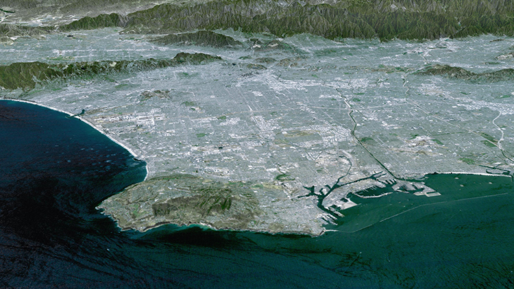
- The seasonal changes to normalized difference vegetation index (NDVI) across the Los Angeles Basin, from 1982 to present, have been examined using Google Earth and high-resolution imagery from the National Agriculture Imagery Program (NAIP). The effects of past land cover changes – including construction and vegetation growths/deaths – will continue to be assessed at a finer spatial scale.
- A neural network has been applied to the Landsat satellite imagery to examine land cover changes at a sub-pixel level in the LAB. The employed application is currently trained at an 87% accuracy and is applied between 1984 to present.
- Three different land cover scenarios have been developed as follows. 1) Increased urban forest canopy cover; 2) Increased conversion of urban vegetation to drought-tolerant species or artificial turf; 3) Several potential vegetation configurations that could potentially achieve the statewide target of a 20% reduction in water use by 2020. These scenarios will be implemented to evaluate a range of future water use predictions across the LAB.
Next Steps
The methodology and land cover maps from this project will be made available to those looking to use the data or repeat the process for other cities/regions. Presently, the researchers are working with stakeholders at L.A. County to share data and assess its impact on future planning scenarios in support of sustainable urban development.
Research Team
Dennis Lettenmaier
Geography, Social Sciences
Institute of the Environment & Sustainability
dlettenm@ucla.edu
Ruth Endel
Geography


