In early June, UCLA School of Law hosted a four-day workshop on remote sensing technology for government representatives from around the world. The meeting was convened by the Governors’ Climate and Forests Task Force, which is housed at UCLA. Three dozen technical specialists from state governments in Brazil, Ecuador, Indonesia, Ivory Coast, Mexico and Peru came together to test out new technology, build skills using hands-on exercises and engage directly with product developers.
“You — the civil servants in this room — are our theory of change,” said William Boyd, an environmental law professor at UCLA School of Law and the leader of the task force. State governments, Boyd said, are “laboratories” that experiment with climate solutions in ways national governments cannot.
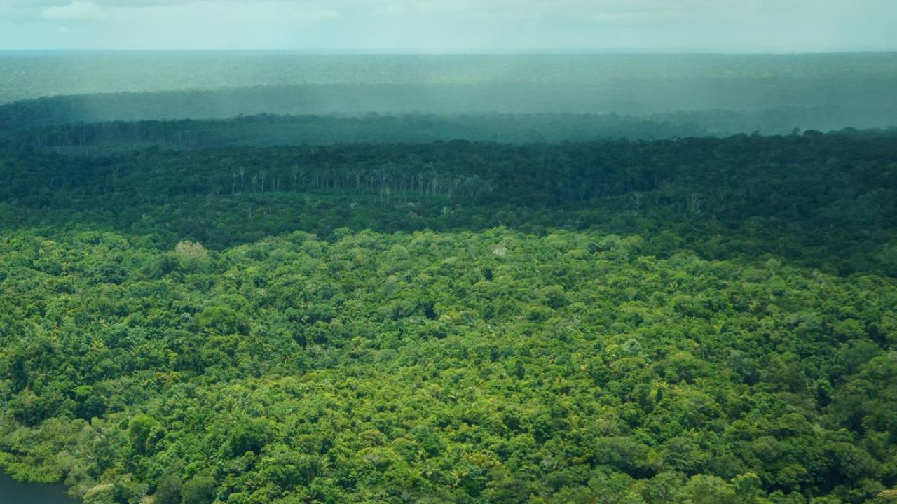
Satellite imagery could be a game changer in the global fight against deforestation, especially now that geospatial data is widely available, with remote sensors on planes, drones and a growing fleet of satellites. Such sensors, which once were the size of a minivan, are now the size of a car battery.
“With this comes a lot of information that’s being captured on a daily basis,” said Elsa Ordway, a UCLA ecology professor and expert on tropical forests. “The question here is, How do we make use of that?”
The Governors’ Climate and Forests Task Force is sponsored by UCLA’s Emmett Institute on Climate Change and the Environment and the UCLA Institute of Environment and Sustainability. It was launched in 2008 as a collaboration between California’s then-Governor Arnold Schwarzenegger and a handful of governors. The group now has 43 member states and provinces covering one-third of the world’s tropical forests, including the Brazilian Amazon.
Read more at UCLA Newsroom.
Image Source: Daniel Melling